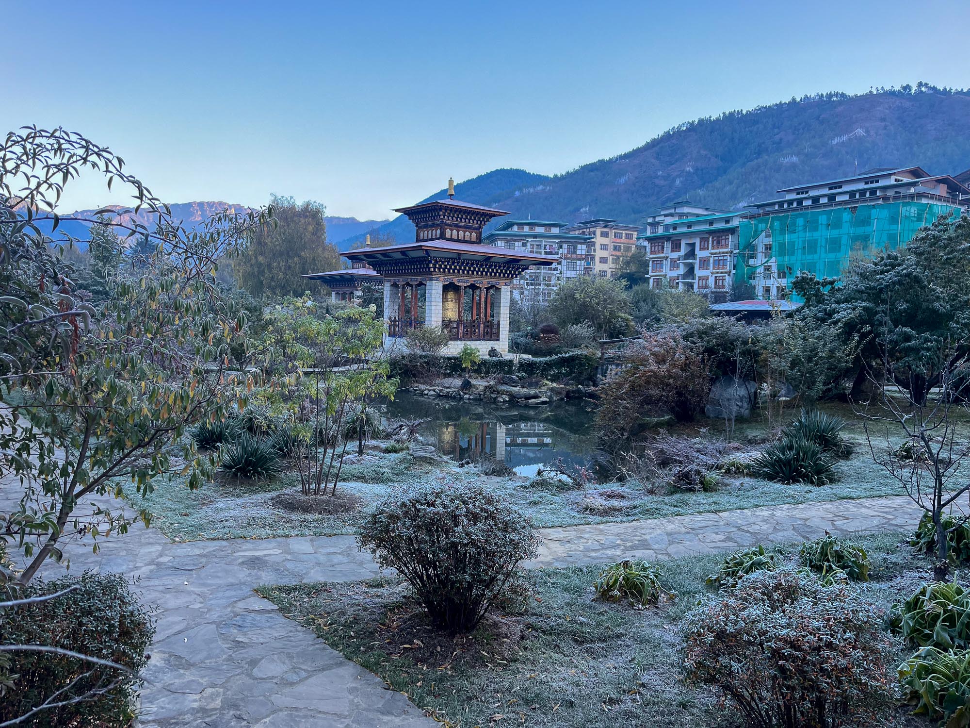
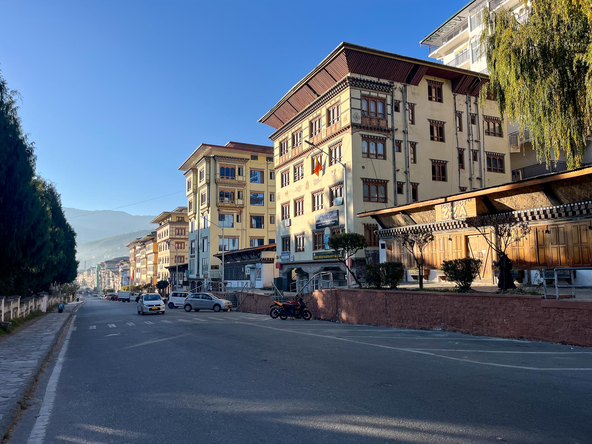
I woke up at 6:15, determined to squeeze in at least one run in Thimphu. This really is the last chance, as we depart in two hours. Gorazd is quickly up for action as well, and without much debate we head out for a short morning run – I was aiming for about half an hour, forty minutes at most. The morning is quite cold, just a few degrees above freezing. The streets are populated only by barking dogs, who are clearly not bored and nor thrilled by the idea of running with (or after) us. Dogs in Bhutan are something like roosters – they’re the ones who wake up the neighborhoods 😊
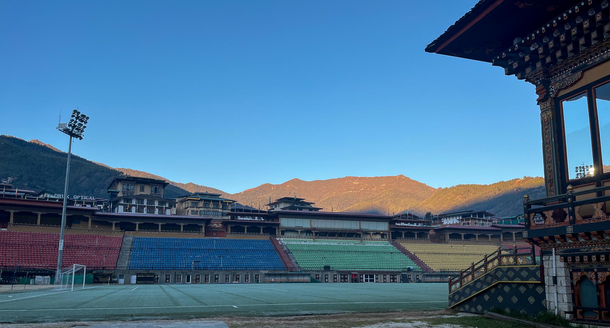
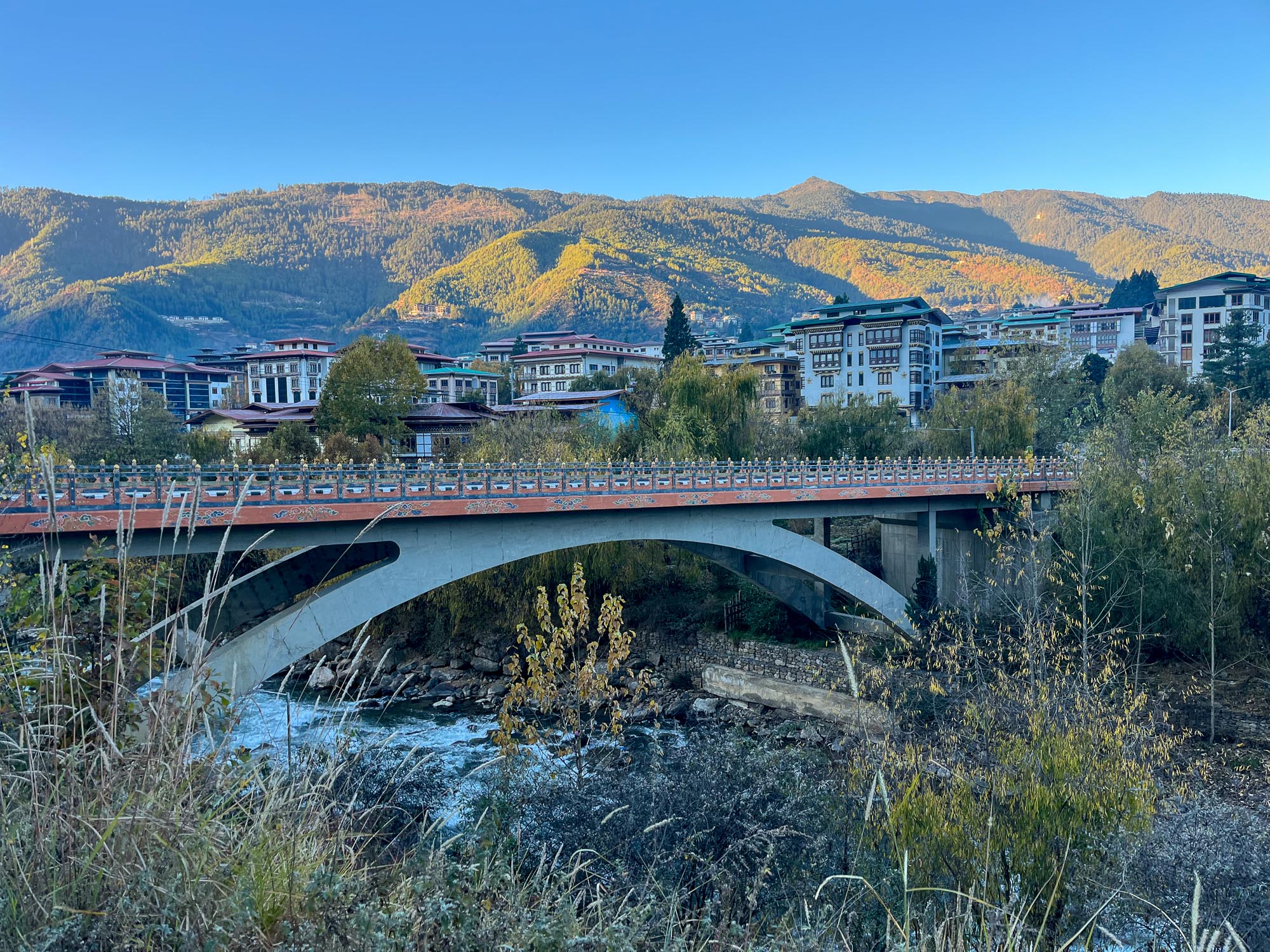
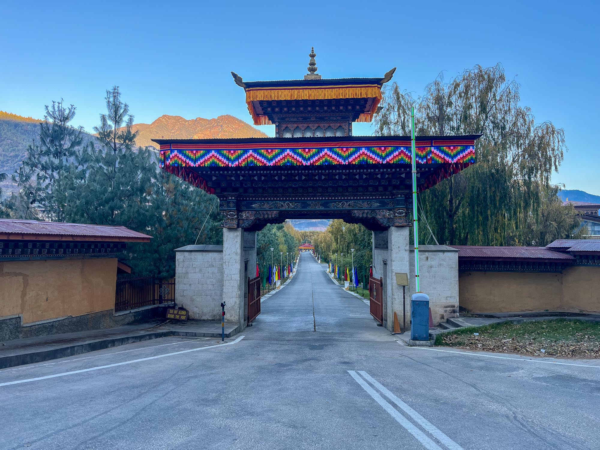
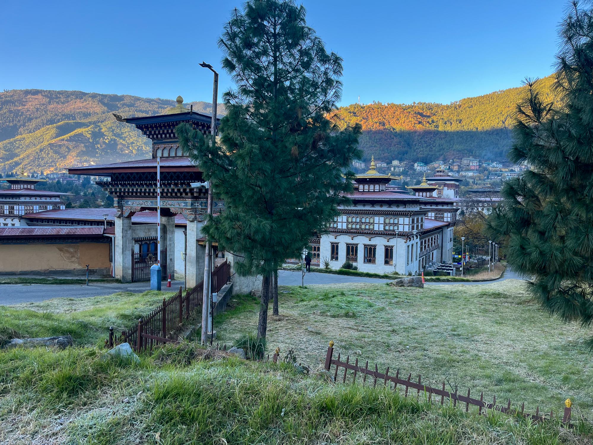
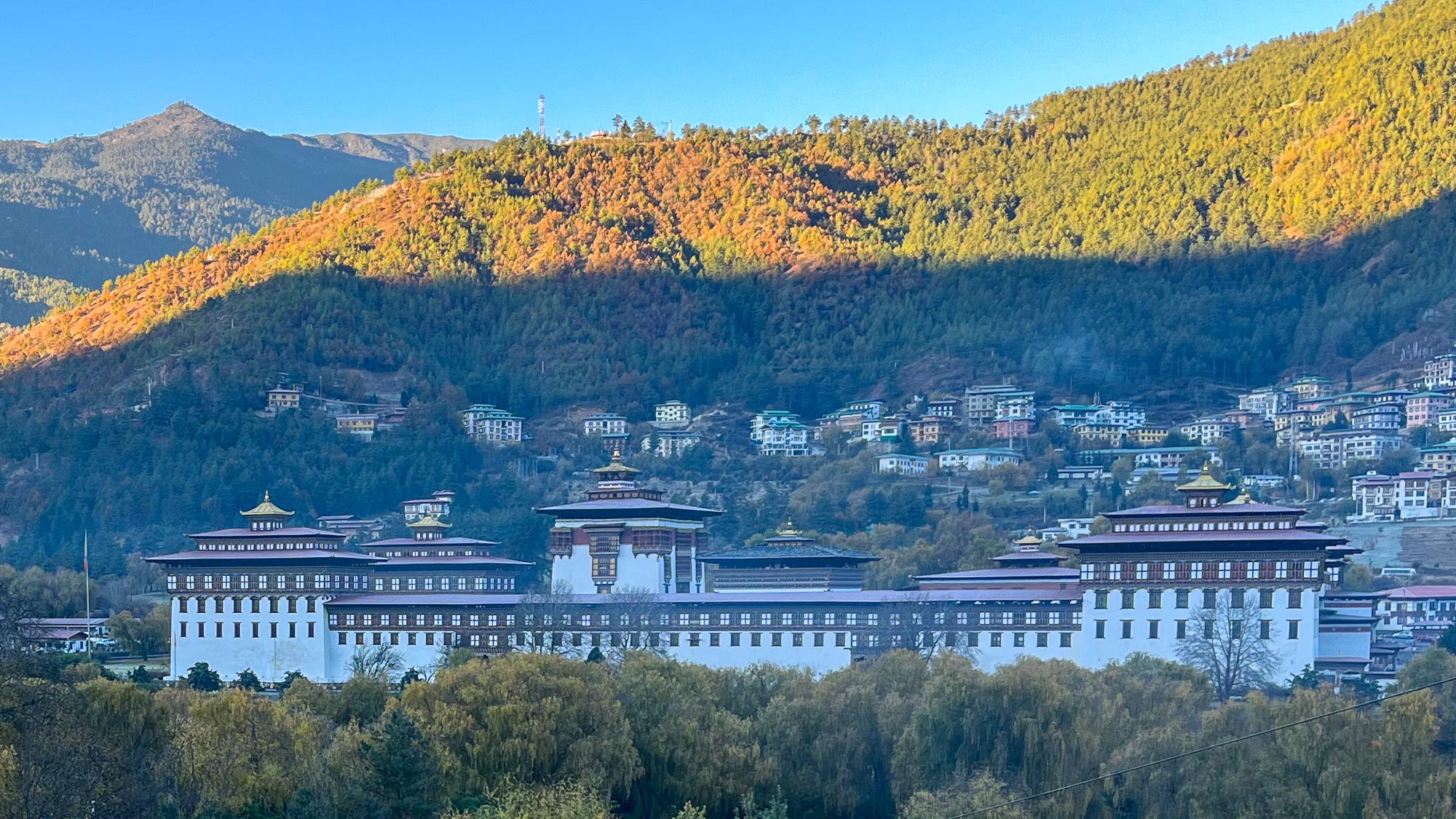
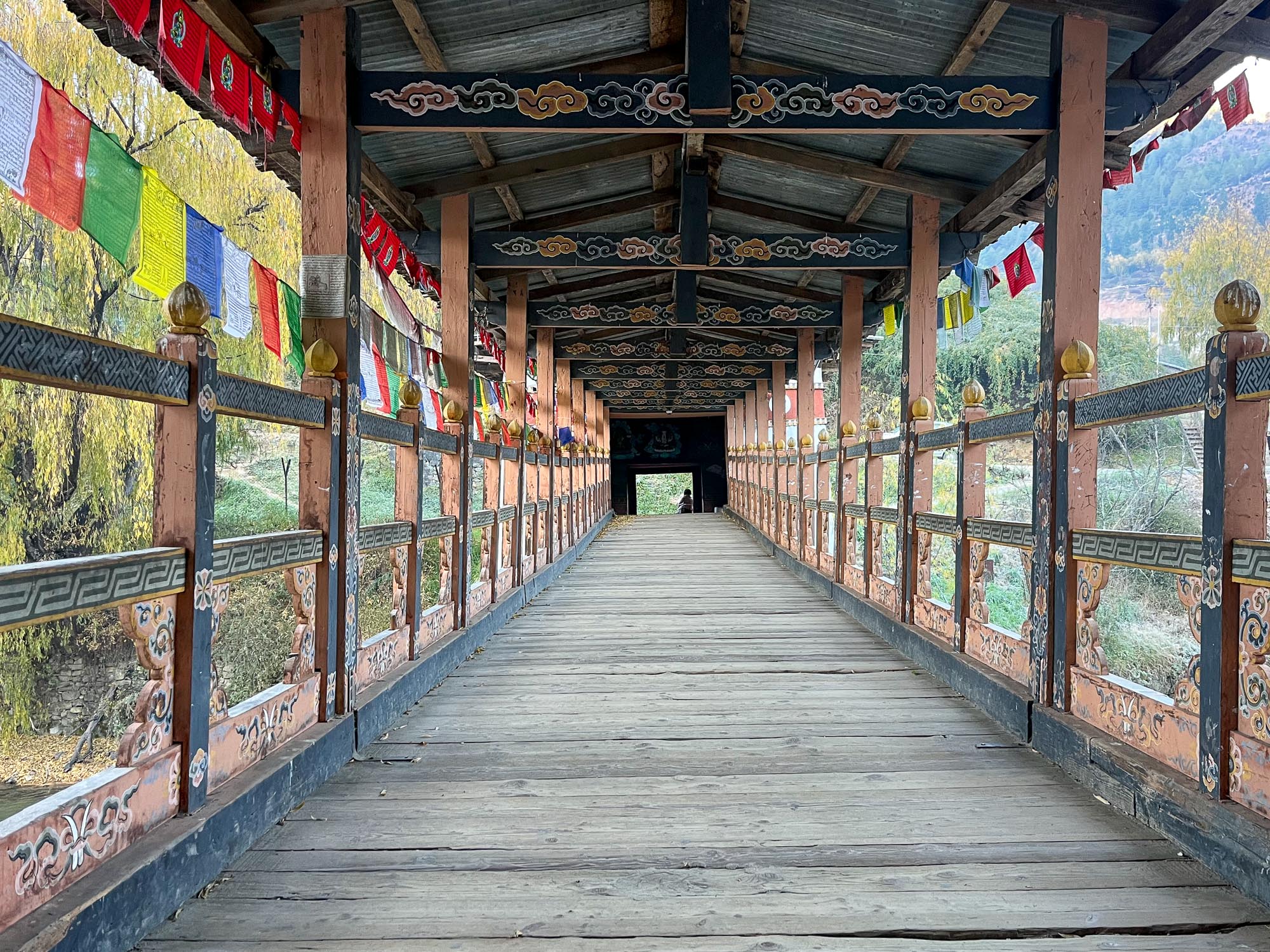
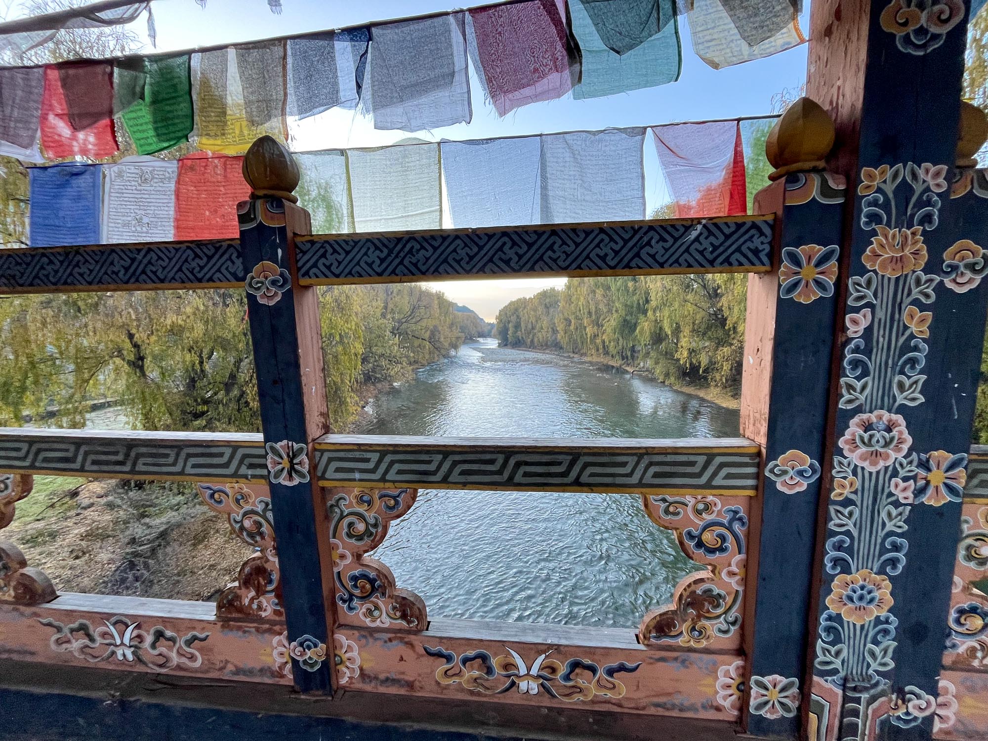
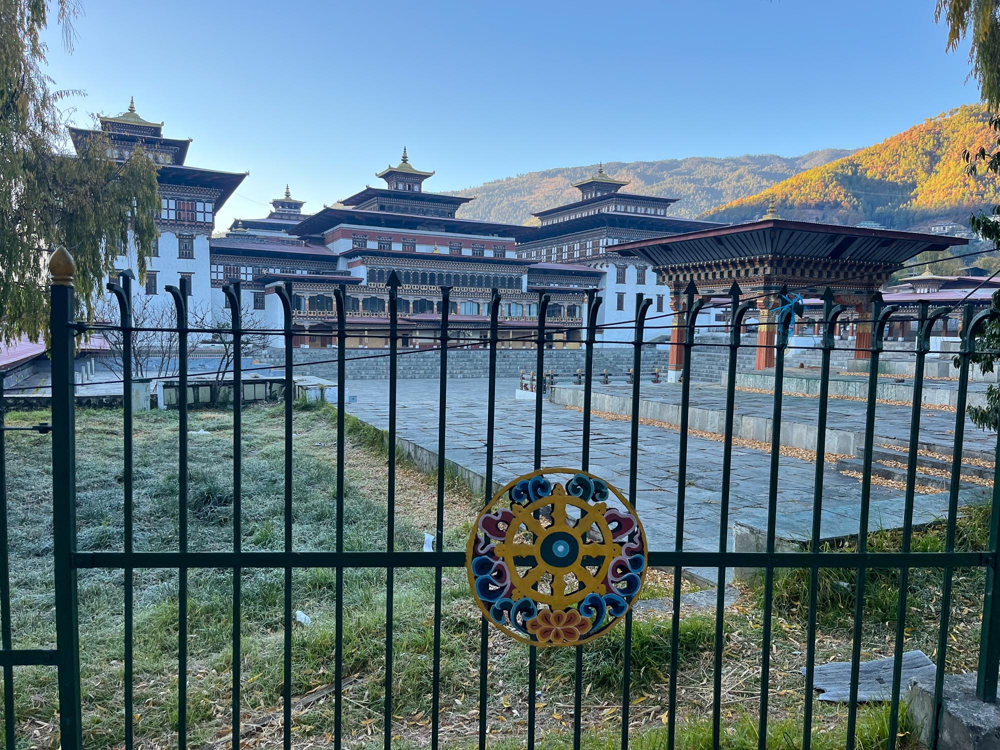
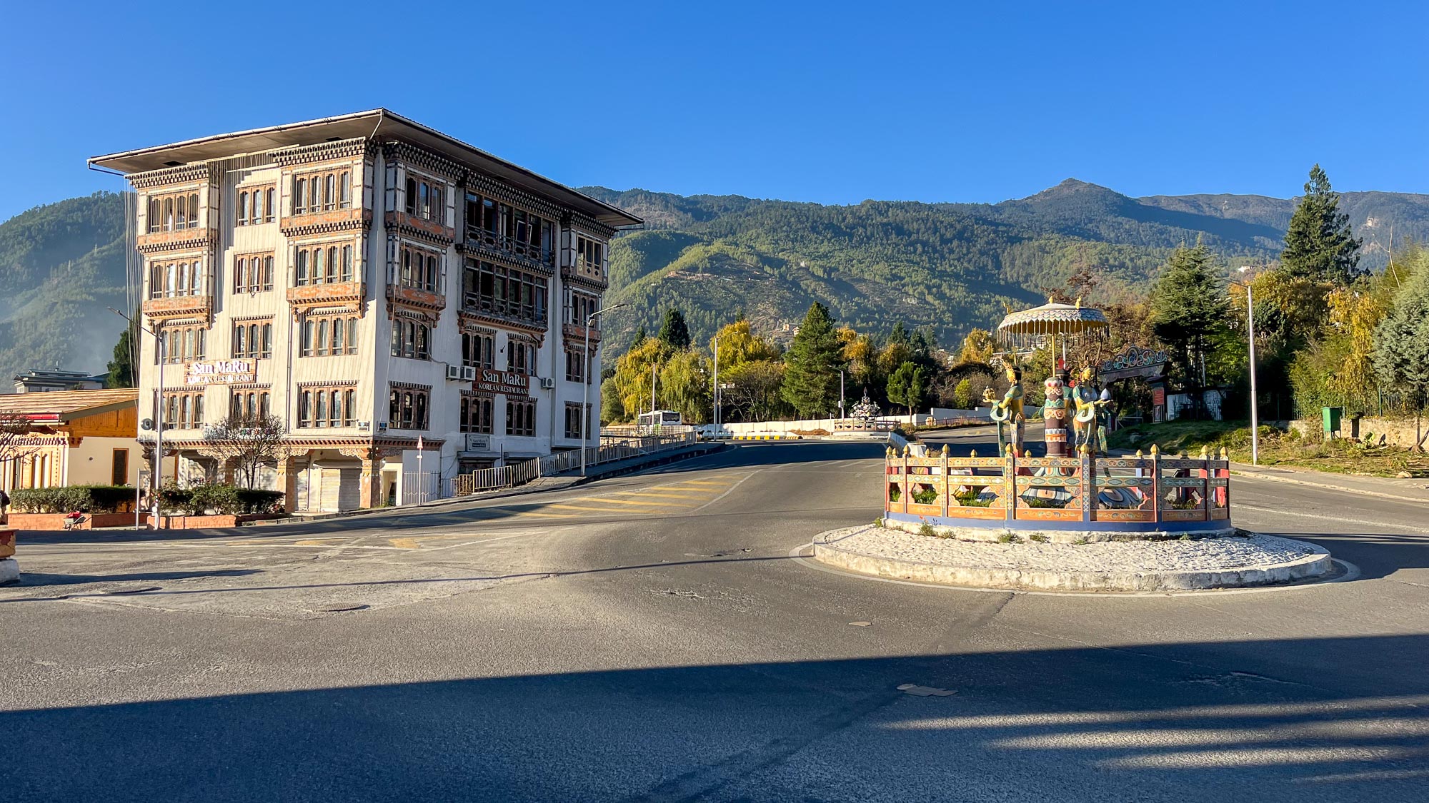
Our run first takes us past the main stadium in Thimphu, then along the river towards the huge government buildings. We run past the Ministry of Foreign Affairs and the parliament, heading toward a smaller bridge leading to Tashichho Dzong, the seat of the government and royal administration. This is a massive monastery-fortress complex by the river, which with its white façade, red and golden details, and distinctive Bhutanese architecture strongly defines the image of the capital. The original dzong on this site already stood in the 13th century, while the complex gained its present form in the 20th century, when it was thoroughly renovated by the fourth King of Bhutan. The building is, of course, strictly guarded and allows neither entry (except for pre-arranged tourist groups) nor photography. But here too a Bhutanese friendliness applies: even the police officer greeted us with a smile, kindly explained the rules to us in English, and just as kindly escorted us onward. A bit further along the river is the royal residence as well, though unfortunately we didn’t run into the king on his morning jog. In the final kilometer, the sun had risen high enough to shine into the city – and the temperature noticeably increased almost instantly. The run thus ended much more pleasantly than it had begun.

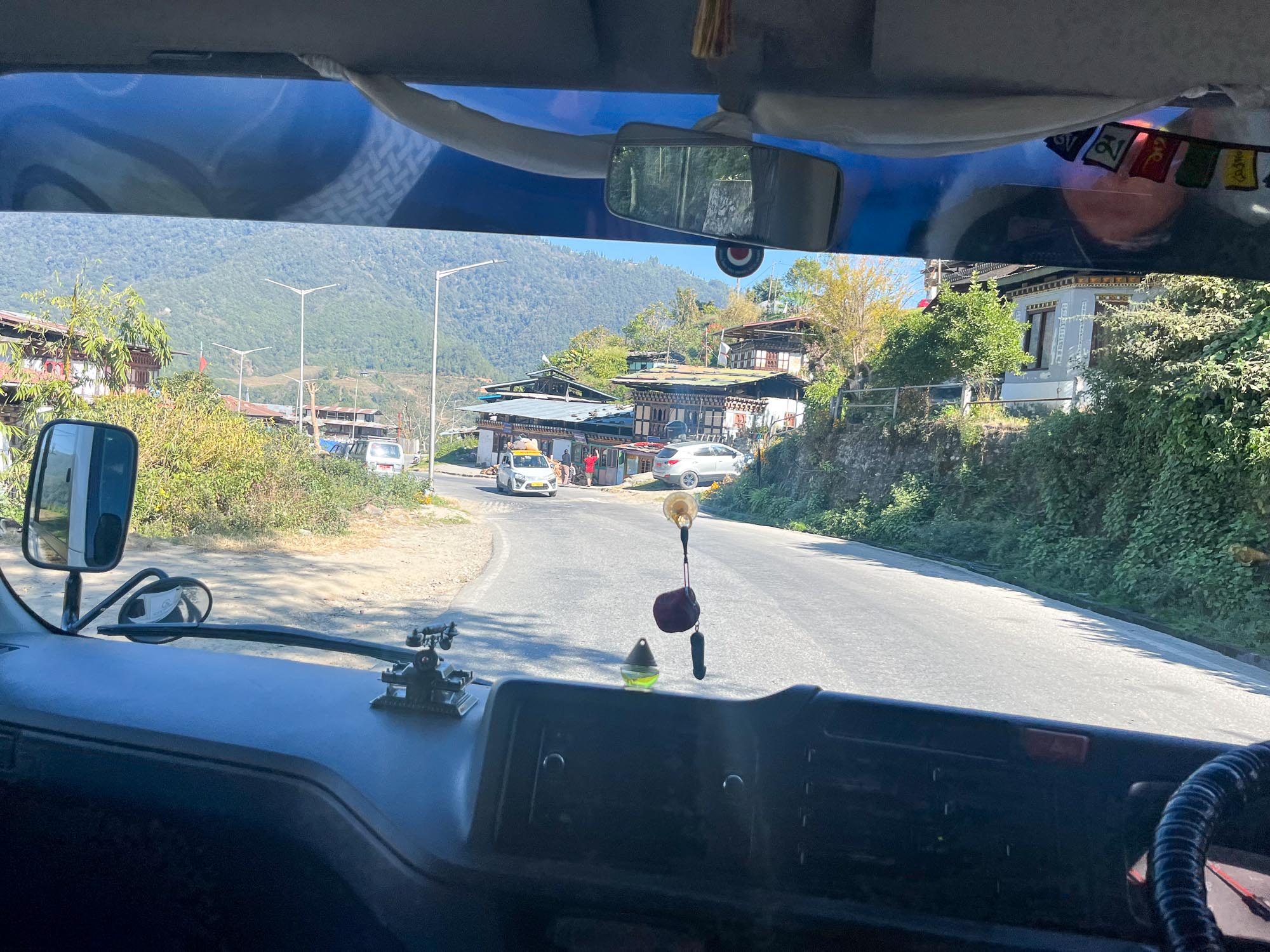
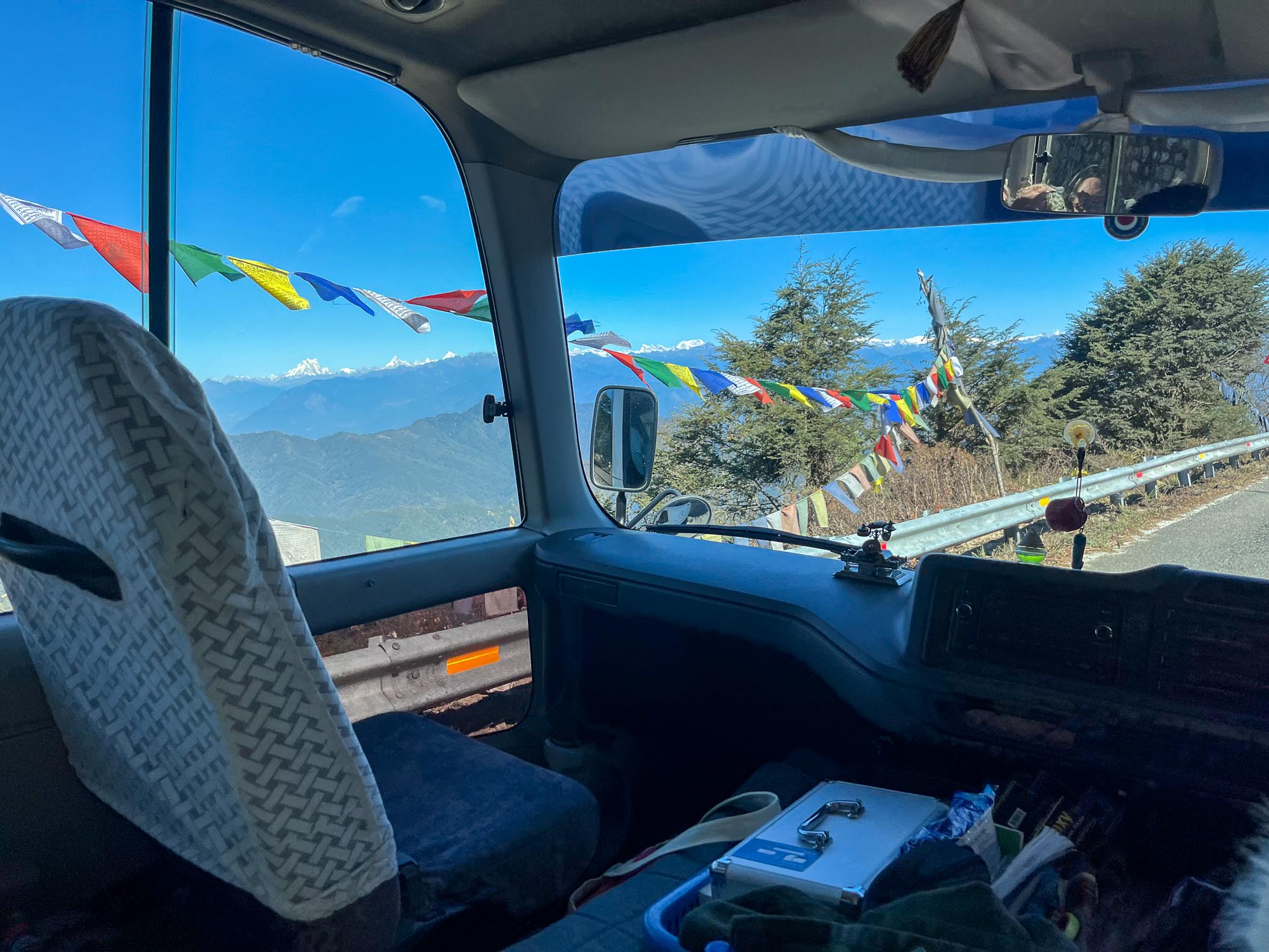
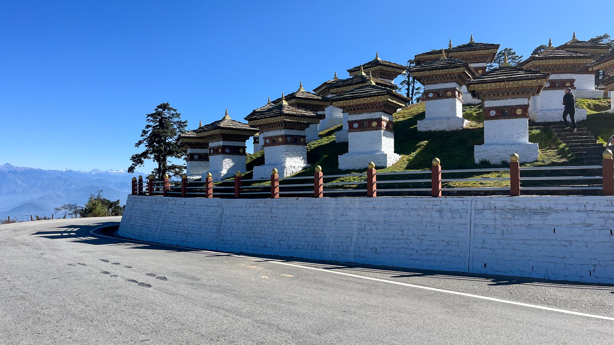
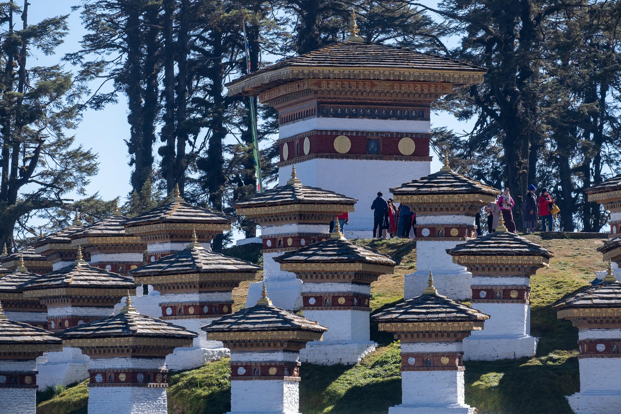
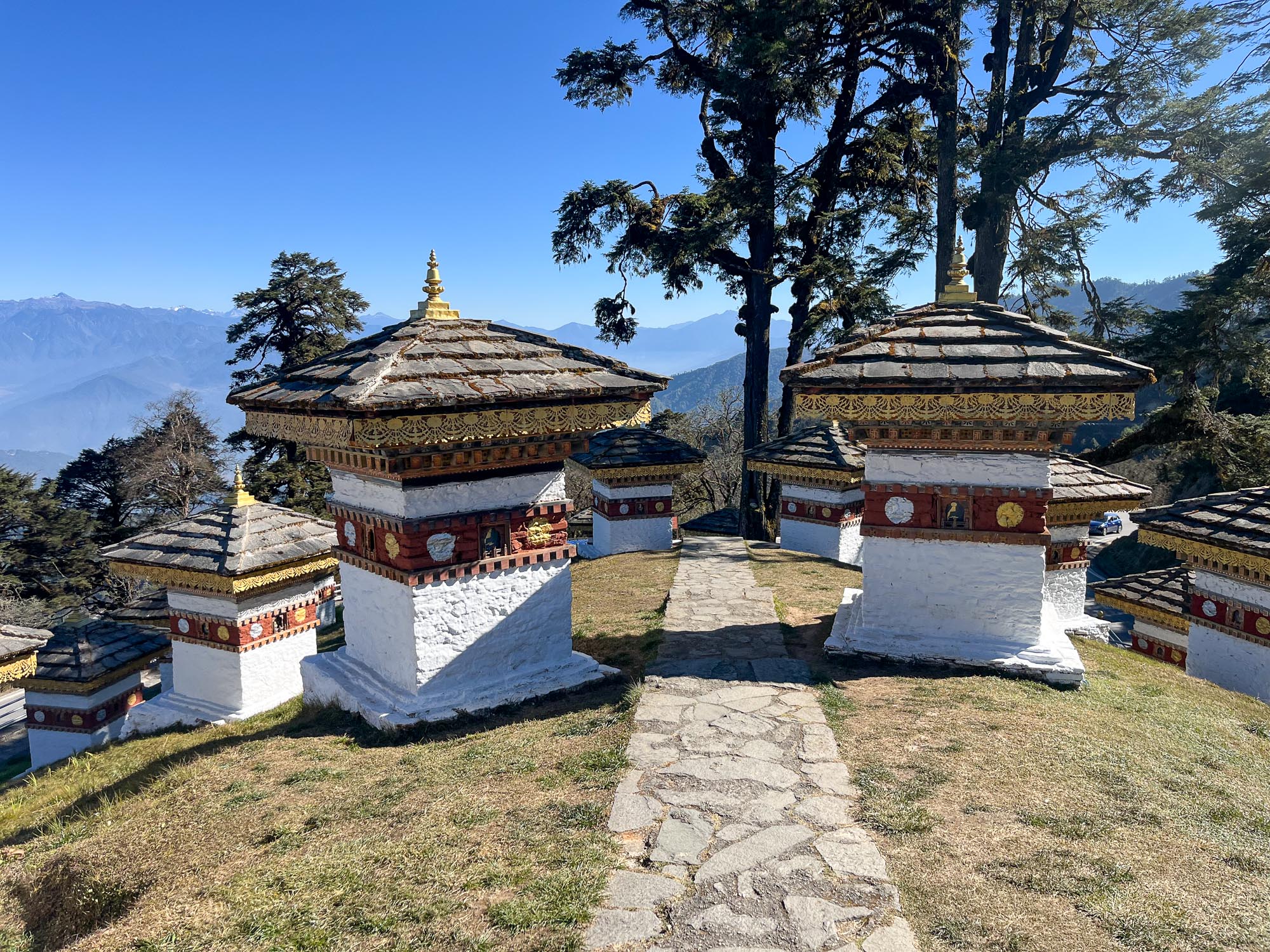
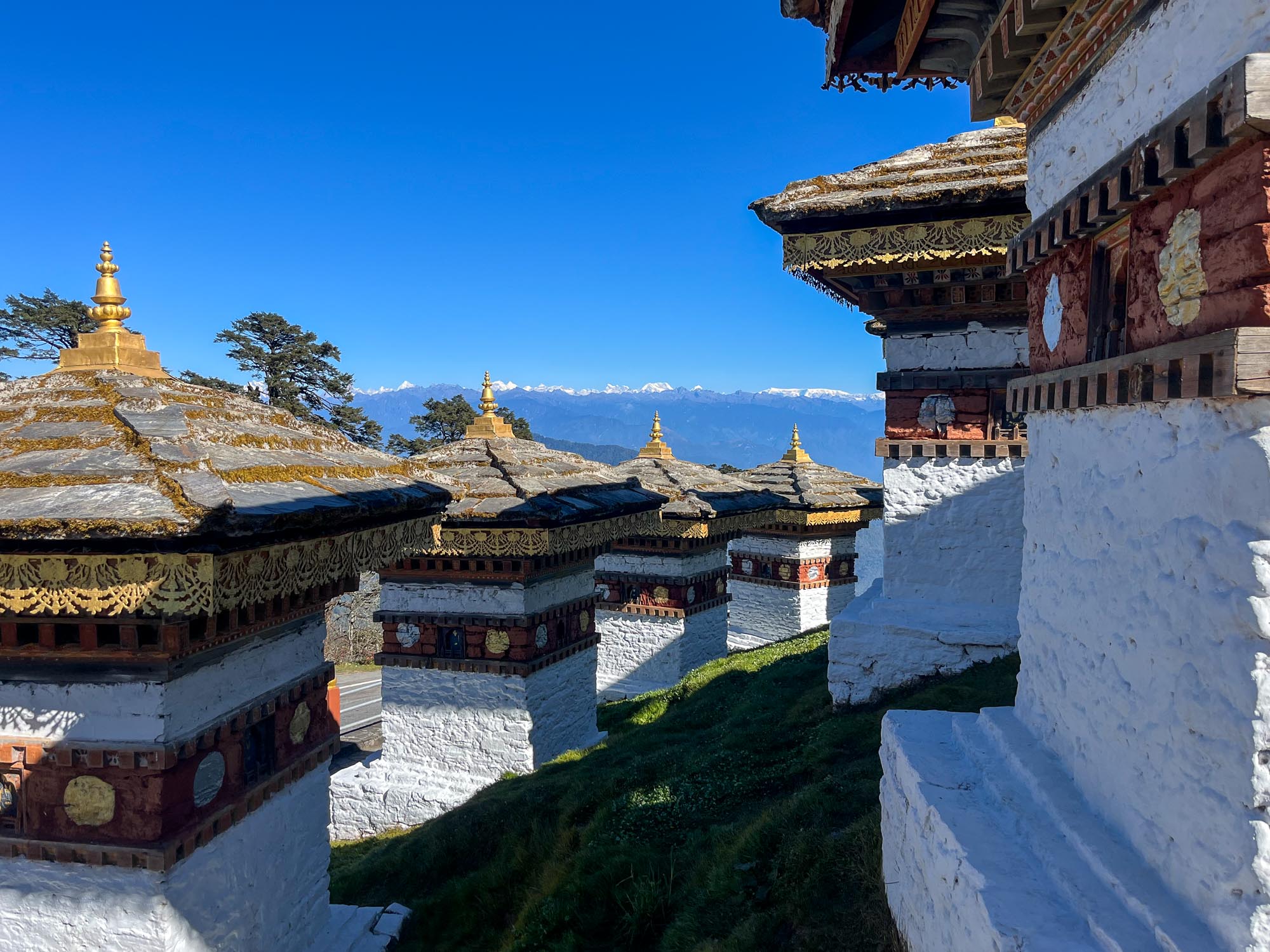
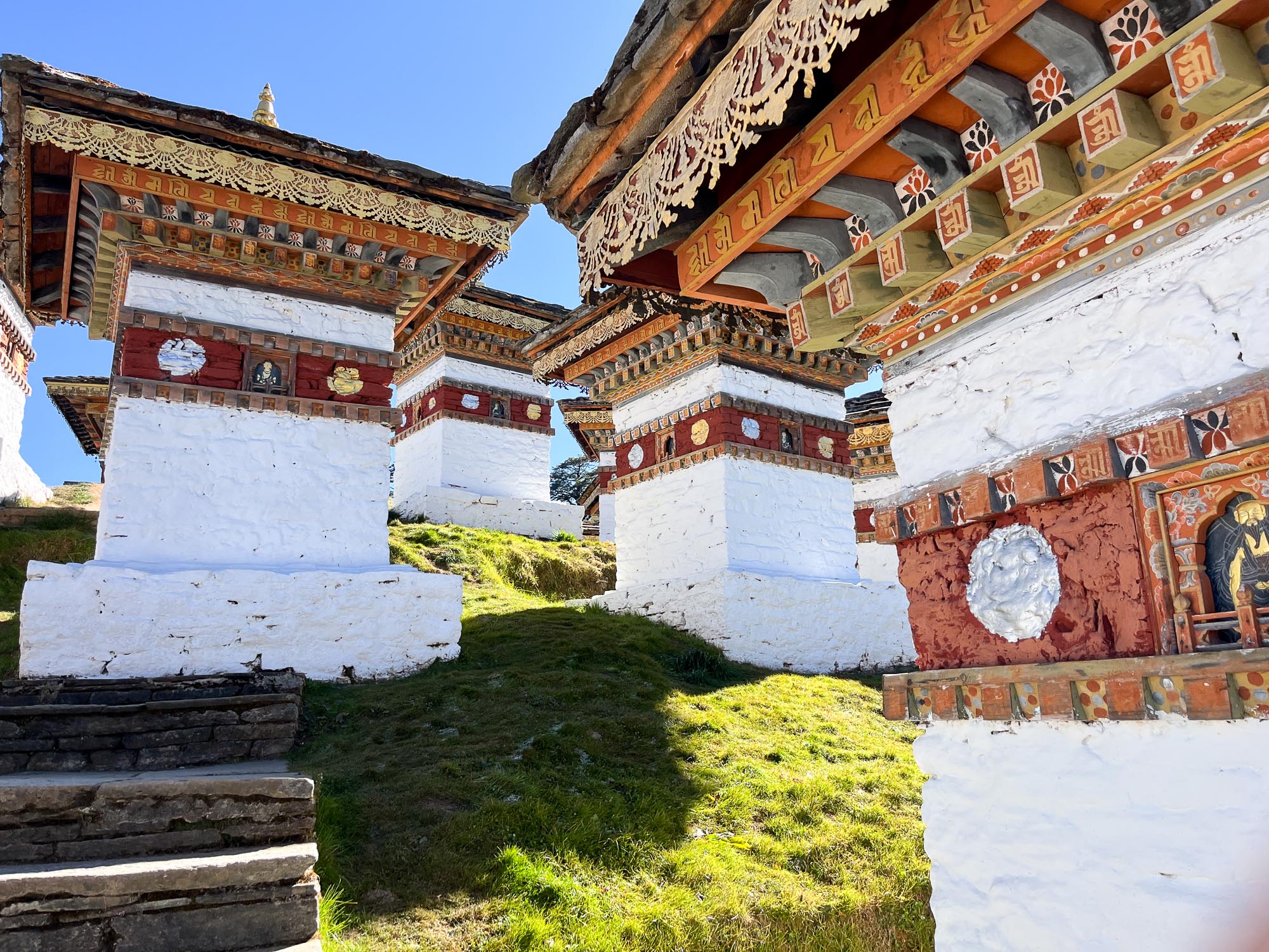
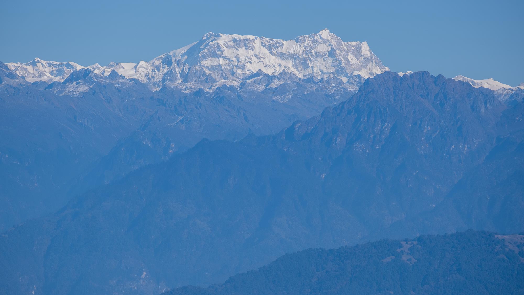
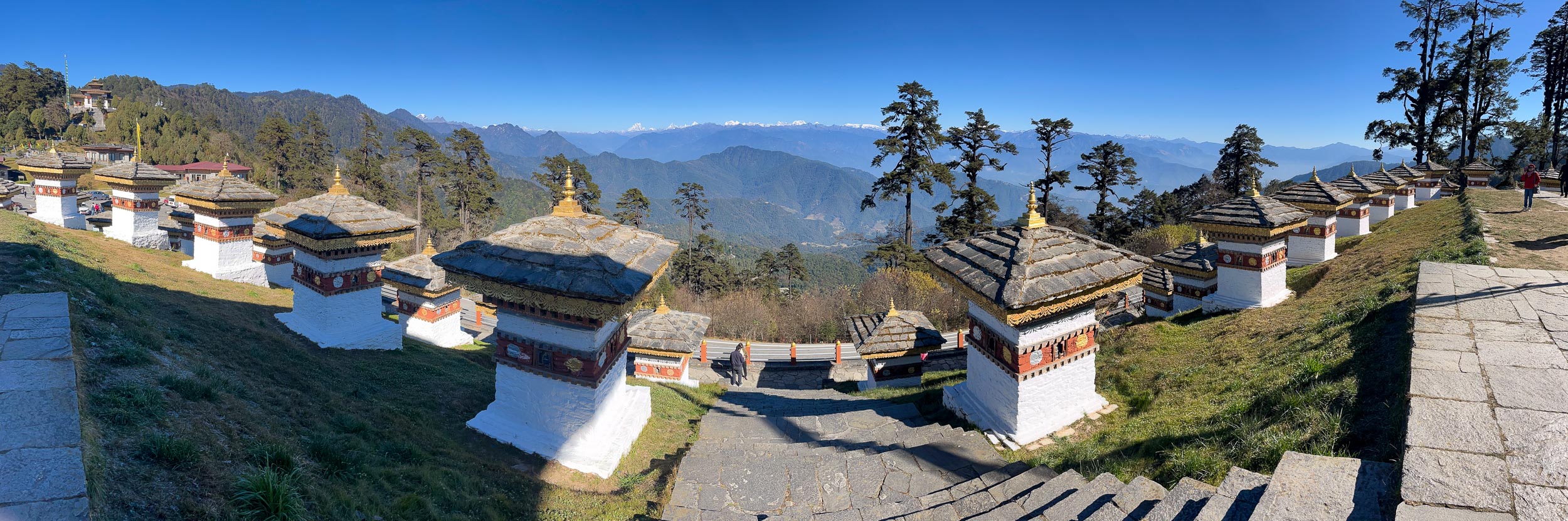
The late morning was devoted to the drive to Punakha, a town in the neighboring valley. The road leads over the Dochula Pass at an altitude of around 3,000 meters, where the famous 108 stupas stand, built in memory of soldiers who fell in conflicts between Bhutan, India, and Indian insurgents. It quickly becomes clear that Bhutanese pride extends not only to their king, but also to their army – from the explanation of our guide you get the impression that their military is almost legendary. At the top of the pass is a popular viewpoint and a perfect place to stop between the two valleys. The views are exceptional: in the distance stretches almost the entire panorama of roughly 100 kilometers of Bhutanese mountains, which also form the border with Tibet and China. On the far right, the Gangkhar Puensum massif is visible, the highest peak in Bhutan (7,570 m), which is considered the highest unclimbed mountain in the world. Expeditions to the mountain (all unsuccessful) were rare even in the past, and for more than 30 years there have been none at all, as mountaineering is prohibited in Bhutan. Snow-covered peaks above 6,000 meters are considered sacred, and people are not allowed to climb them.


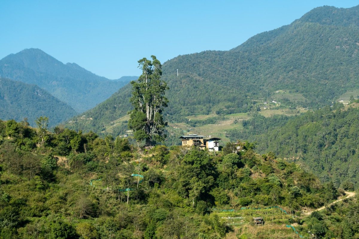
As the road begins to descend toward Punakha, the landscape changes completely. The vegetation becomes lusher, almost tropical, and it is clear that the climatic influences here are very different from those in the valleys of Thimphu and Paro, which are much more enclosed and colder. The road winds down steep slopes, and the views remain spectacular the entire time.